CWFIS Datamart
Metadata
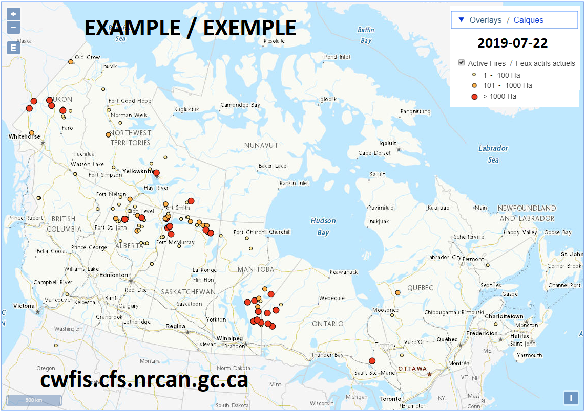
Active Wildfires in Canada
Description
Reported active fire locations are updated daily as provided by fire management agencies (provinces, territories and Parks Canada). The fires data is managed through a national Data Integration Project (DIP) coordinated by the Canadian Interagency Forest Fire Centre (CIFFC) and Natural Resources Canada with participation from all partner agencies. The active fires data includes attributes for agency, fire name, latitude, longitude, start date, fire size (ha) and stage of control (fire status). Possible values for stage of control include: OC (Out of Control), BH (Being Held), UC (Under Control), EX (Out).
Supplemental Information
The national Data Integration Project (DIP) is coordinated by the Canadian Interagency Forest Fire Centre (CIFFC) and Natural Resources Canada with participation from all partner agencies. This initiative focuses on development and implementation of data standards and enabling the exchange and access of national fire data. More details are available in the CIFFC IM/IT Strategy, available at: https://ciffc.ca/publications/general-publicationsLicenses
Open Government Licence - Canada (http://open.canada.ca/en/open-government-licence-canada)
When the Data is displayed, in print, electronically, or otherwise, the source (i.e., Natural Resources Canada) must be acknowledged along with the following citation: Canadian Forest Service. 2022. Canadian Wildland Fire Information System (CWFIS), Natural Resources Canada, Canadian Forest Service, Northern Forestry Centre, Edmonton, Alberta. http://cwfis.cfs.nrcan.gc.ca.
Data Resources
activefires_current (Layer) (WMS)
Active Fires (Web App)
Active Fires (CSV)
For additional information, please see the metadata included with the data itself.