Weather Maps
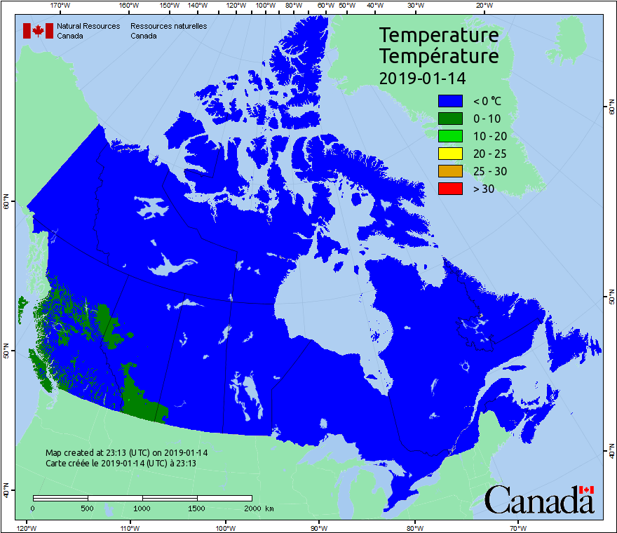
This map displays conditions at local noon. Because Canada covers several time zones, local noon occurs at different times in different parts of the country. Temperature values are interpolated between weather stations, then adjusted for elevation. This adjustment is based on the assumption that the temperature decreases at a rate of 6.5°C per kilometre of elevation increase.
Daily weather observations are required for the Canadian Forest Fire Weather Index (FWI) System calculations. More information about weather processing and the FWI system is available in the Background Information.
Forecasted weather data provided by Environment Canada. More information about forecasted weather is available in the Background Information.
Maps are updated daily, at 6 p.m. Mountain Standard Time.